DIGITAL PHOTOGRAMMETRY
Photogrammetry is the science of making measurements from photographs, especially for recovering the exact positions of surface points. Digital photogrammetry is a well-established technique for acquiring dense 3D geometric information for real-world objects from stereoscopic image overlap and has been shown to have extensive applications in a variety of fields.
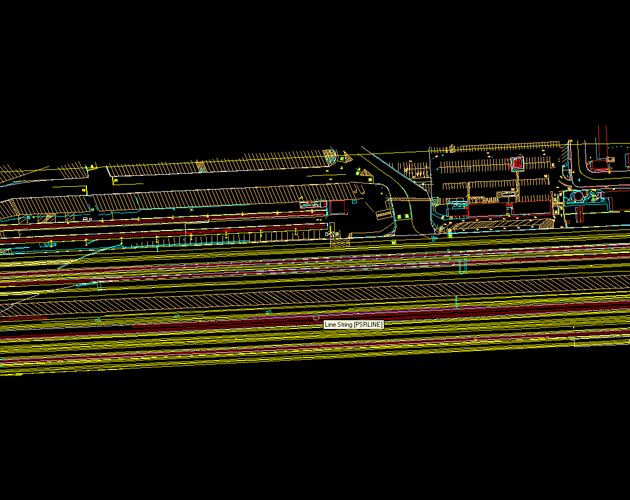
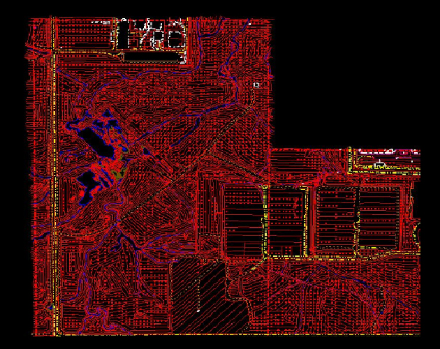
A digital terrain model (DTM) is the basis for all contouring, orthophotography, TIN calculations and other surface modeling. The DTMs collected are comprised of mass points and break lines, which delineate various terrain defining features, such as ravines, ridges, tops and toes of slopes, as well as mass elevation grid points used in flatter areas.
- Planimetric Mapping
- Topographic Mapping
- Volume calculations
- DEM/DTM Modeling
- Contour Generation
- Volume Calculations
- GIS Base mapping
- Multiple format deliverables, Including: AutoCAD, Microstation, ArcGIS, etc.
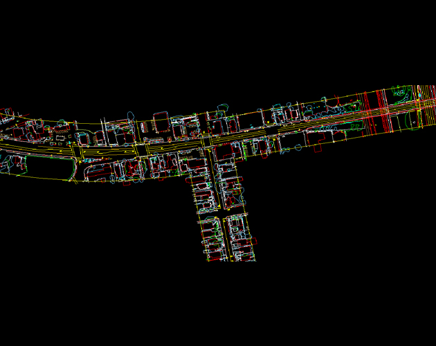
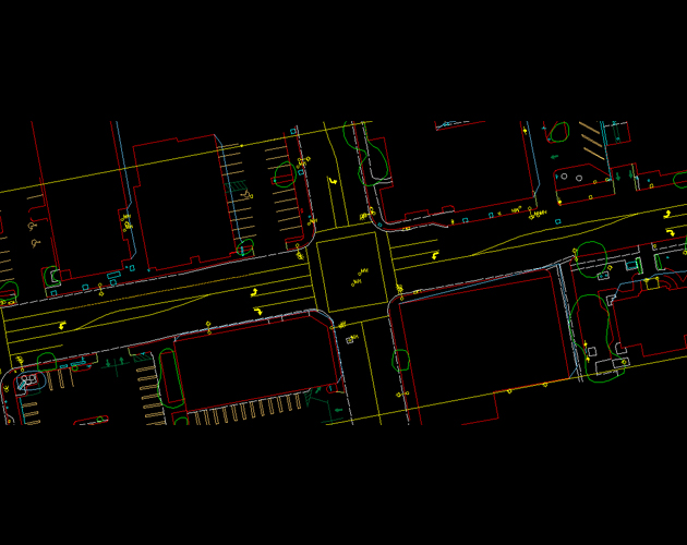
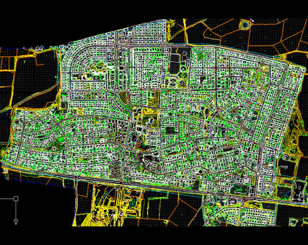
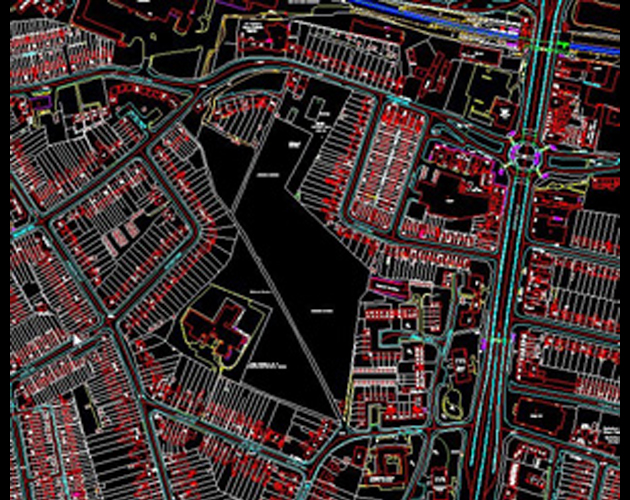
- Planimetric Mapping
- Linear Planimetric Mapping
- Planimetric Mapping
- Planimetric Mapping
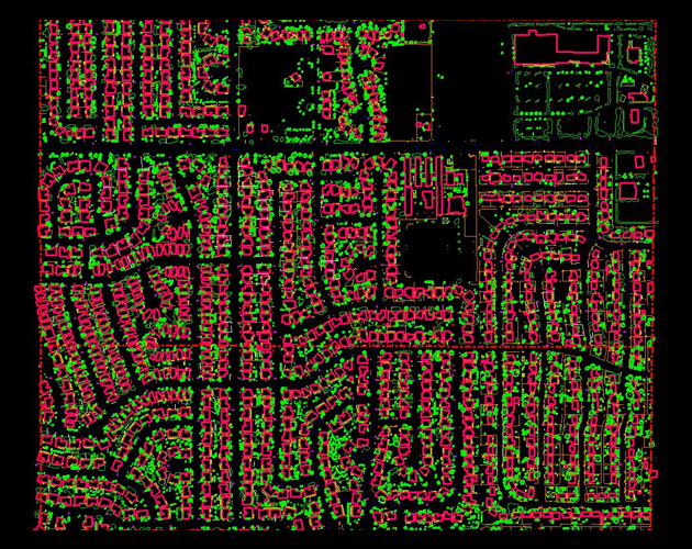
- Breakline and Masspoints
- Planimetric Mapping
- Plan