ORTHOPHOTOGRAPHY
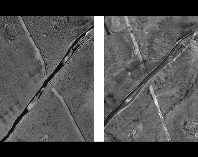
An orthophoto, orthophotograph or orthoimage is an aerial photograph or image geometrically corrected ("orthorectified") such that the scale is uniform: the photo has the same lack of distortion as a map.
- A conventional perspective aerial photograph contains image displacements caused by the tilting of the camera and terrain relief.
- It does not have a uniform scale. We cannot measure distances on an aerial photograph like you can on a map. It is not a map.
- The effects of tilt and relief are removed from the aerial photograph by the rectification process to create an orthophoto.
- An orthophoto is a uniform-scale photograph. It is a photographic map.
- Since an orthophoto has a uniform scale, it is possible to measure directly on it like other maps.
- An orthophoto may serve as a base map onto which other map information can be overlaid.
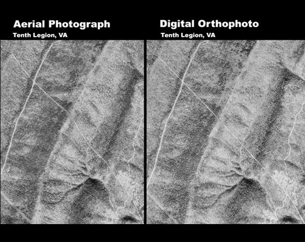
- Aerial Photo and Ortho
- Ortho Rectification