UAV / DRONE DATA PROCESSING.
GVH is specialized in Drone data processing and bas been successfully completed more than 1000 KM data. We are having drone processing software’s that provides high end 3 dimensional accuracy outputs.
Advantages of Drone data:- Risk reduction Better overview
- Survey of inaccessible locations.
- Improved data density
- Faster data acquisition
- Higher data resolution
- Lower costs
The deliverables will be as follows:
- Topographic survey drawing in AutoCAD format.
- 3D Break lines
- Contour and spot levels
- Break line and mass point.
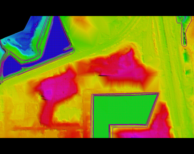
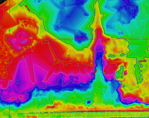
- DTM in LAS file format
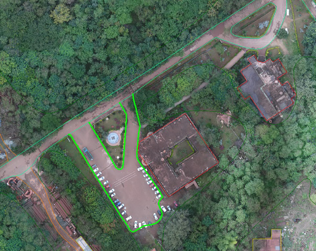
- Ortho rectified Mosaic Image
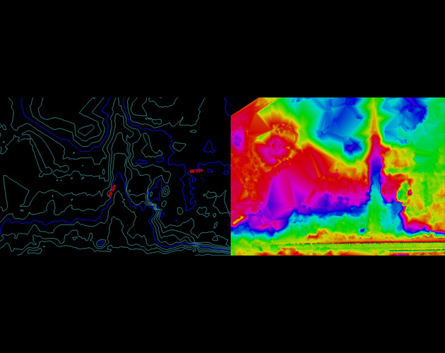
- Drone Breakline DTM Topo Points
- Drone DTM and 0.5m Contour
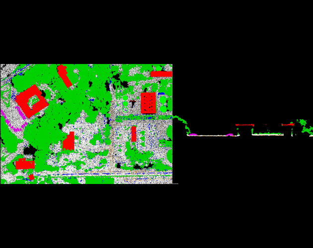
- Drone DTM and Topo Points
- Drone LAS Building
- Drone Ortho Image with Topo Feature